

Written after a hike to Mount Margaret on the Boundary Trail in 2019 from a series of hikes up into the Cascades. It was a very good summer in there were no complications from forest fires which seem to mar things in August and early September in recent years.
BOUNDARY TRAIL
Save the best for last? Mount Margaret lies along the Boundary Trail, the 53
mile trail running from Johnstone Observatory in the Mt St Helens Volcanic National
Monument to Mt Adams. The trail was built in 1910 to service fire
lookouts on the border between the forest reserves of the Cowlitz – to the
north – and the Lewis – to the south.
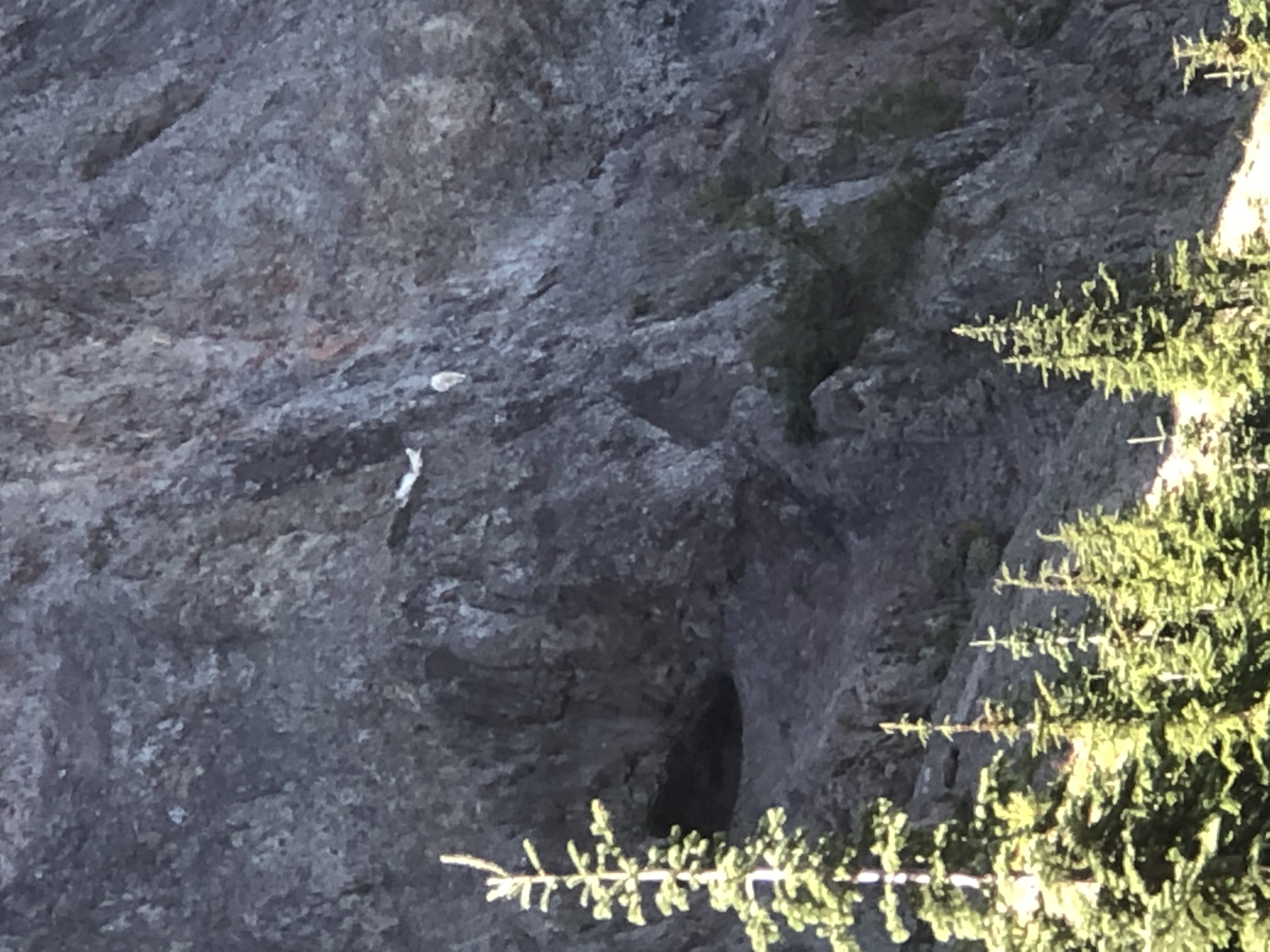
Two weeks ago, I hiked another section in the middle of the trail – Badger Peak, Kirk Rock, Shark Rock. Wonderful views on that section with no one but mountain goats to keeping
me company. The problem with the hike was that area was open to trail
motorcycles. Riders have successfully deeply rutted the trails – noise could be
another problem, but that seems to be a weekend thing.

Here, near Mt St Helens, you are in the Mount Margaret Backcountry of the National Monument and only mountain bikes are allowed. What a pleasure to hike normal trails again! Plus, this area is magnificent!! There were ten people on the trail the whole day and five of them were only hiking the first two miles. Otherwise, silence but for the bugling of elk and howling of coyotes – truly magic. Add to that, miles of huckleberries and extensive views over a slowly recovering landscape and you have a superb hike.
This time of year, means not only the dramatic views slow your progress, but the bounteous abundance of huckleberries beckoning from what seems every other step!


Remember you might not be the only one sharing a love for the huckleberry 😊
NORWAY PASS
Two miles brings you to Norway Pass. I hiked here first when this was the trail end – somewhere in the late 1980’s. Devastation was much more real then but is still obvious after almost forty years. The mountainous area north of St Helens was a protected area before it received the full fury of the blast of May 1980. Life is returning.


THE LONG RIDGE
Hike higher and farther on the Boundary and you come to a junction with the Lakes Trail which takes you to a series of lakes north of the ridge you are on.


The Boundary stays high and the views are incredible with five volcanoes in view from Rainier to Jefferson. Five miles brings you to a trail junction with the Whittier Ridge trail. This trail links up with the Lakes trail making a loop possible. But Whittier Ridge is described as a class 2-3 scramble with lots of exposure. Not a nice “trail” if you have a full pack on. From the south end, it looked like an adventurous proposition with a daypack.


Another mile brings you past the massive Mt Teragram …
MOUNT MARGARET ATTAINED
…. to gain the highpoint of the Backcountry – Mount Margaret. Magic prevails on a warm late summer day in September. Sit back and listen to the elk bugle.


Return the way you came.


Total Distance 11-12 miles Gain 2000 feet – September 13, 2019
A 360 view from atop Mount Margaret. Click and drag with your mouse.
The 360 degree view doesn’t seem to work this time, unlike the ones in your previous post. But the panorama photos are very impressive — and the comparison to 1987.
Simplest solution. Just put it at the end ;-/
Wonderful views! It was interesting to see the contrast between 1987 and 2019 – it’s impressive how nature renews itself 🙂 And I love the idea of ‘silence but for the bugling of elk and howling of coyotes’. This full trail would be beyond me I fear, but the first two miles sound tempting and still seem to offer some great mountain scenery!
Pingback: SOUTHWESTERN WASHINGTON WATERFALLS OUTSIDE OF THE GORGE - Meandering through the PrologueMeandering through the Prologue